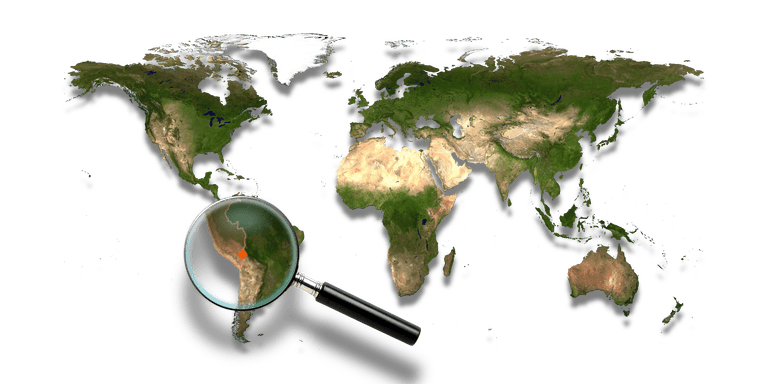
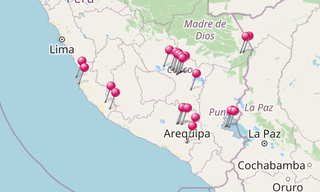
Lake Titicaca is a large, deep, freshwater lake in the Andes on the border of Bolivia and Peru, often called the “highest navigable lake” in the world. By volume of water and by surface area, it is the largest lake in South America. Lake Titicaca has a surface elevation of 3,812 m.
The lake consists of two nearly separate subbasins connected by the Strait of Tiquina, which is 800 m across at the narrowest point. The larger subbasin, Lago Grande (also called Lago Chucuito), has a maximum depth of 284 m. The smaller subbasin, Wiñaymarka (also called Lago Pequeño, “little lake”), has a maximum depth of 40 m.
Five major river systems feed into Lake Titicaca (Ramis, Coata, Ilave, Huancané, and Suchez). The lake has 41 islands, some of which are densely populated.
Other cultures lived on Lake Titicaca prior to the arrival of the Incas. In 2000, a team of international archaeologists and divers found the ruins of an underwater temple, thought to be between 1,000 and 1,500 years old, most likely built by the Tiwanaku people. The ruins have been measured to be 200 by 50 m. The temple was accompanied by a village, some roads, terraces for farming and a retaining wall that ran for 800 m.
Uros Floating Islands
The “Floating Islands” are small, man-made islands constructed by the Uros (or Uru) people from layers of cut totora, a thick, buoyant reed that grows abundantly in the shallows of Lake Titicaca. The Uros harvest the reeds that naturally grow on the lake’s banks to make the islands by continuously adding reeds to the surface.
According to legend, the Uru people originated in the Amazon and migrated to the area of Lake Titicaca in the pre-Columbian era, where they were oppressed by the local population and were unable to secure land of their own. They built the reed islands, which could be moved into deep water or to different parts of the lake, as necessary, for greater safety from their hostile neighbors on land.
Each island contains several thatched houses, typically belonging to members of a single extended family. The larger islands house about ten families, while smaller ones, only about thirty meters wide, house only two or three families. They are anchored with ropes attached to large Eucalyptus poles driven into the bottom of the lake. Food is classically cooked in pots by means of pottery stoves; these are placed on flat stones to prevent the flammable reed islands from catching fire.
Amantani Island
Amantani is small island on Lake Titicaca populated by Quechua speakers. About 3,700 people live in 10 communities on the roughly circular 15 km² island. Two mountain peaks, called Pachatata (Father Earth) and Pachamama (Mother Earth) and ancient ruins are on the top of both peaks.
The hillsides that rise up from the lake are terraced and planted with wheat, quinoa, potatoes, and vegetables. Most of the small fields are worked by hand. Long stone fences divide the fields, and cattle and sheep graze on the hillsides. Amantani is known as the “Island of the Kantuta”, after the national flower of Peru and Bolivia, which grows plentifully on the island.
Llachón
Llachón, a Quechua-speaking community, is 74 km from the city of Puno, on the shores of Lake Titicaca. The community of Llachón is located in a very scenic part of the Lake, in the peninsula of Capachica, which separates the Bay of Puno from the main Lake, or Lago Grande; its scenery, beaches, typical accommodation and kindness of its families, allow for a comfortable stay.
Juliaca
Juliaca is the capital of San Roman Province in the Puno Region of southeastern Peru. It is the region’s largest city with a population of 276,110 inhabitants (2017). On the Altiplano, Juliaca is 3,825 m above sea level, is located on the Collao Plateau and is northwest of Lake Titicaca (45 km). It is the largest trade center in the Puno Region.

-Lake-Titicaca.hero.landscape.jpg?w=1600)


-Lake-Titicaca.jpg?w=256)
-Lake-Titicaca.jpg?w=256)
-Obersee.hero.jpg?w=320)

.hero.jpg?w=320)
